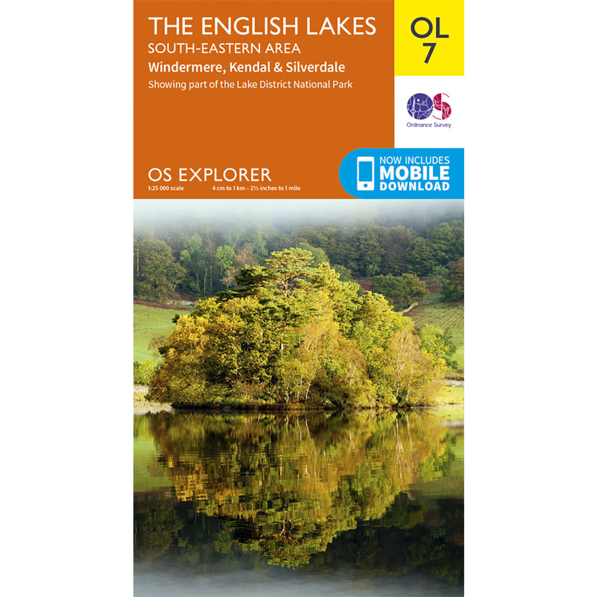
Ordnance Survey OL7 The English Lakes – South Eastern Area Map
| Precio: | EUR 10.99 |
- Categoría: Mapas
- Marca:Ordnance Survey
- Tallas: One Size
- 1
- 2
- 3
- 4
- 5
basado en 47 valoraciones
Características de Ordnance Survey OL7 The English Lakes – South Eastern Area Map
An essential addition to your outdoor adventure kit, the Ordnance Survey OL7 The English Lakes - South Eastern Area Map provides directions and key information of hotspots Windermere, Kendal, Silverdale and its surrounding areas. About OS Explorer Maps The OS Explorer Map is the Ordnance Survey’s most detailed folding map and is recommended for anyone enjoying outdoor activities including walking, horse riding and off-road cycling. Providing complete GB coverage, the OS Explorer Map series details essential information for the great outdoors, including youth hostels, pubs and visitor information. Rights of way, fences, permissive paths and bridleways are clearly shown, ensuring you have the most up-to-date information to get the most out of your time in the countryside. OL7 The English Lakes - South Eastern Area Map features: Dales Way, Cumbria Way, Limestone Link (Cumbria), Cistercian Way, Cumbria Coastal Way, Lune Valley Ramble, Kendal, Windermere, Lake District National Park, Cumbria, and Lancashire.